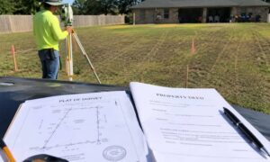
If you’ve been hearing about the new flood maps, you’re not alone — they’re causing a lot of confusion. Areas that weren’t considered at risk before are now marked as flood zones, leaving homeowners wondering what it means for their insurance, renovations, or even the value of their property. A land survey company can help make sense of it all. A home elevation survey shows exactly how high your property is and where your boundaries fall, giving you a clear picture instead of leaving you guessing.
Looking at the maps yourself can be tricky. The zones and numbers don’t always line up with what you see in your yard, and trying to follow online discussions often only adds to the stress. Knowing your home’s true elevation and property lines takes away that uncertainty and helps you make decisions based on facts, not assumptions.
Why Flood Maps Can Be Hard to Understand
These new maps are the first big changes in nearly twenty years. Suddenly, areas that weren’t previously considered at risk are now shown in flood zones. Homeowners are left unsure about what it all means for their homes.
It’s easy to feel overwhelmed. Questions like “Am I really in a flood zone?” or “Do I need new insurance?” are common. Reading the maps yourself can be frustrating — the numbers and lines often don’t match what you see in your yard, and trying to make sense of neighborhood discussions online only adds to the confusion.
If you’re uncertain about your property lines or elevations, a Houston property surveying team can help. They take all the complicated details and show exactly where your property sits and how high it is. That way, you get a clear picture of your land and can make decisions with confidence.
What the Maps Don’t Show
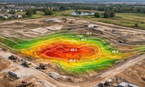
Flood maps are meant to show potential risk, but they can’t predict every storm. Houston’s water system is complicated, with bayous, channels, and reservoirs that can behave in unexpected ways.
Maps show general zones, but they don’t provide exact property lines or the actual height of your land. Without accurate information, it’s hard to know your real risk. That’s where a land survey company comes in. Surveyors can measure your property precisely, showing how your land sits compared to flood zones and neighboring properties. That clarity can save time, money, and stress.
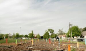
How a Land Survey Company Helps Homeowners
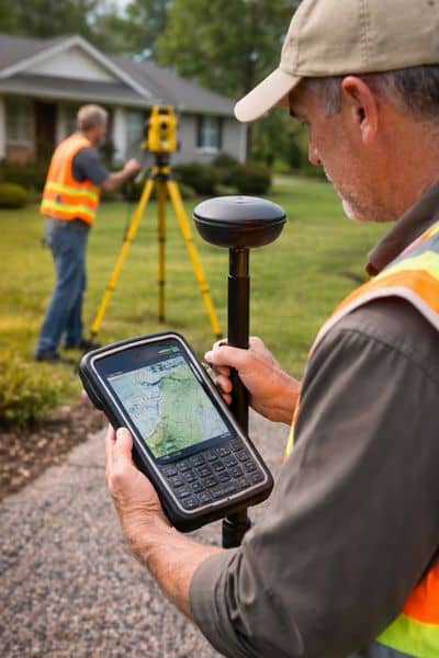
Surveyors measure the land around your home to give accurate information about your elevation and boundaries. This isn’t just about maps — it’s about turning confusing numbers into something you can actually understand.
With a survey, you know exactly where your property sits, how high it is, and how it relates to flood zones. This helps you make informed choices about insurance, renovations, or even selling your home. Instead of guessing, you have facts you can rely on.
Real-Life Example
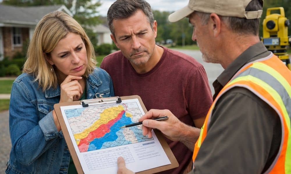
Imagine a homeowner checking the new flood maps and seeing that their property appears in a flood zone. The news is stressful — insurance could go up, and they worry about future repairs or selling their home.
Instead of worrying, they hire a land survey company. The survey shows that their house is actually above the projected flood level. Suddenly, what seemed scary is clear. They can provide this information to their insurance agent, and they know exactly where their property stands. Confidence replaces confusion.
Why Timing Matters
Right now, the new maps are still drafts. Changes may happen before they become final. Some neighborhoods could see risk zones grow, while others may not change at all.
Getting a survey now gives you early, trusted information. You can plan ahead for insurance, renovations, or other projects. A survey doesn’t just show where your house sits — it shows how your property relates to flood zones, neighboring lots, and other potential hazards. That clarity makes decision-making easier and less stressful.
Understanding Your Risk
Flood maps can feel overwhelming, and they often raise more questions than they answer. Many homeowners worry about unexpected costs or damage. A land survey company helps turn confusion into understanding.
With a survey, you learn your home’s true elevation and exact property lines. You understand your real risk for flooding, and you gain peace of mind. Knowing these measurements allows you to plan construction projects, landscaping, or home improvements with confidence.
What You Can Do
If you’re unsure how the new flood maps affect your property:
- Check where your home falls on the draft flood maps.
- Reach out to a land survey company for a detailed assessment.
- Use the survey information to make informed decisions about insurance, renovations, or sales.
Taking these steps now helps you feel in control and reduces stress about potential flood risks.
Final Thoughts
New flood maps can be confusing and a little scary. Many homeowners are unsure what to do next. But you don’t have to face this alone.
A trusted land survey company provides clear, accurate information about your property, elevation, and boundaries. They help you understand your risk, make smart choices, and feel confident in your decisions. When maps seem complicated, a survey brings clarity — and that clarity makes all the difference.