In Houston, time is money especially when you’re managing a construction project, developing land, or planning a large site. But delays in land surveys? They’re more than just inconvenient. They can throw off entire schedules, push back permits, and cost thousands in missed deadlines. That’s why more professionals are now turning to a faster, smarter solution: the drone survey.
If this sounds familiar, you’re not alone. Many developers and property owners in Houston are choosing drone surveys to speed up their projects and avoid unnecessary downtime.
Why Land Survey Delays Are So Common in Houston
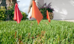
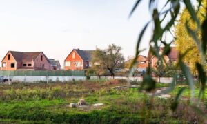
Houston is growing fast. From commercial sites in Midtown to residential developments in Katy, surveyors are in high demand and often overbooked. Traditional surveys can take days or weeks, especially when scheduling conflicts or rough terrain slow things down.
Then there’s the weather. Houston’s sudden rains, high humidity, and scorching heat can stall field crews or force rescheduling. And if your land has dense vegetation, flood zones, or limited access? That’s another delay waiting to happen.
For project owners, that’s time and money you can’t afford to lose.
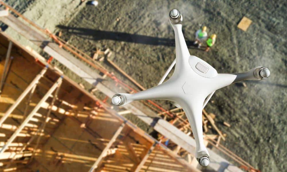
What Is a Drone Survey and Why It’s a Game-Changer
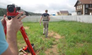
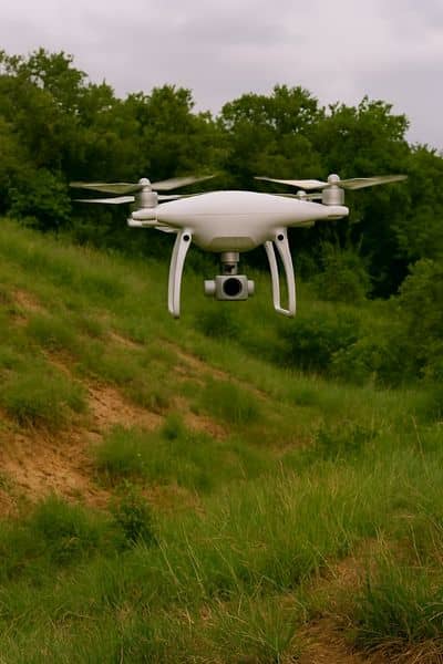
A drone survey uses unmanned aerial vehicles (UAVs) to fly over your site and capture precise, high-resolution data from above. These drones are equipped with advanced cameras and GPS, allowing them to map out your property in incredible detail—without ever setting foot on the ground.
Once the data is collected, we process it using specialized software to generate accurate maps, contour lines, 3D models, and topographic information. You get the data you need—without the long wait.
And the best part? It’s just as accurate as traditional surveying, if not more so, especially on large or hard-to-reach properties.
Faster Turnarounds, No Compromise on Quality
One of the biggest reasons Houston developers are switching to drone surveys is speed. Drones can cover large areas in a fraction of the time it takes a field crew to do the same. That means your survey gets done in hours not days.
But fast doesn’t mean sloppy. Drone surveys still deliver high-precision results you can rely on for permits, design planning, and construction.
So if your project timeline is tight and let’s be honest, when isn’t it? a drone survey can help keep everything on track.
A Better Fit for Houston’s Terrain and Climate
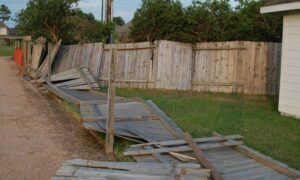
From the bayous of Southeast Houston to wooded lots in The Woodlands, not every property is easy to access. Traditional surveying teams might struggle with thick brush, wet ground, or private boundaries.
Drones don’t have that problem. They fly over obstacles, cover uneven terrain effortlessly, and don’t need access through gated or muddy areas. In a climate like Houston’s, where conditions can change in a flash, that’s a huge advantage.
Save Time, Save Money
Every day your project is on hold adds costs. Labor. Rentals. Missed deadlines. And in some cases, even penalties.
By choosing a drone survey, Houston project owners are cutting down those delays and moving forward sooner. You’re not only getting quicker results, you’re also minimizing the risk of costly rework and rescheduling.
And because drones require fewer crew members on-site and less setup, the overall surveying cost can often be lower especially for larger tracts of land.
Faster Communication Means Better Decisions
Another overlooked benefit? Drone survey data is easier to share. After the flight, we can quickly generate digital files that you, your architect, or your engineer can access within hours. You don’t have to wait around for paper reports or chase down your surveyor for updates.
That’s crucial when you’re working on large teams or fast-moving projects. The sooner everyone has accurate site data, the sooner decisions can be made and executed.
Is a Drone Survey Right for Your Houston Project?
If you’re planning a new build, subdivision, or land development in Houston and facing delays, this is the time to consider your options. A drone survey is ideal if:
- Your project has a tight schedule
- Your site is large, difficult, or heavily vegetated
- You’ve experienced delays with traditional surveys
- You need up-to-date data quickly and digitally
Whether you’re developing land in Harris County, building near the Houston Ship Channel, or managing construction in Spring or Pearland, drone surveys give you the speed and precision you need—without the typical headaches.
Take the Next Step, Start Sooner, Not Later
In Houston’s fast-paced construction environment, delays can disrupt progress and add unnecessary costs. Drone surveying provides accurate site data quickly, reducing downtime and helping projects stay on schedule.
With timely information in hand, you can make informed decisions and keep work moving without the long wait associated with traditional surveys.