How Tornadoes Disrupt Flood Elevation Certificates
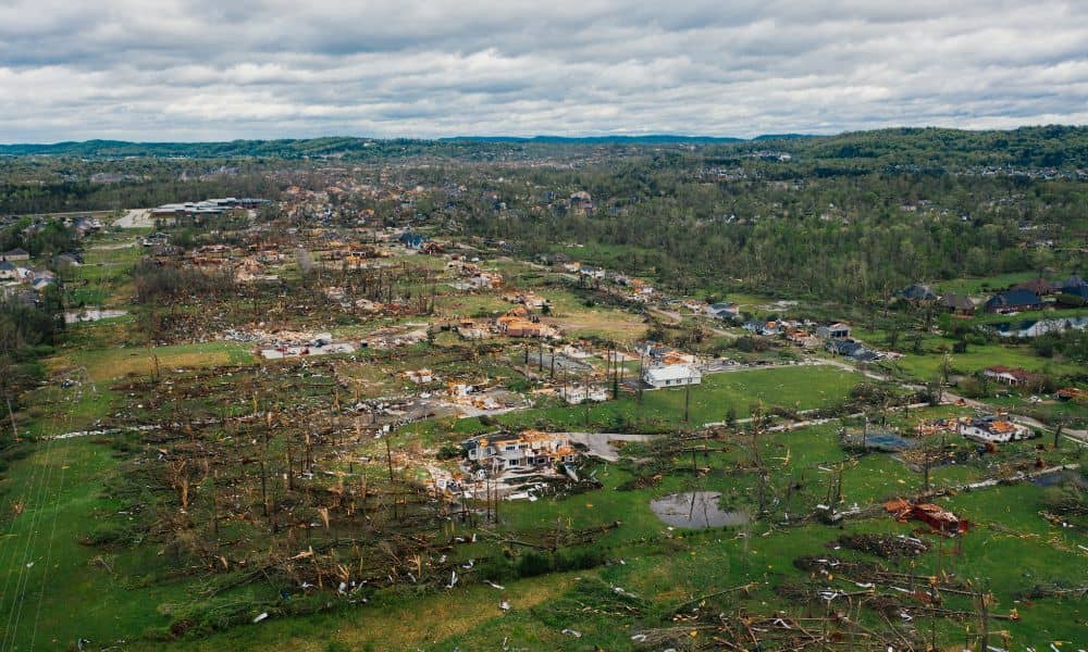
Houston didn’t expect the recent tornadoes, and many developers now see the impact long after the winds stopped. Flood elevation certificates now matter more than ever, especially as FEMA and insurance companies look at how the storm changed local land. Even small shifts in the ground can change how water moves across a property, and […]
How Lidar Mapping Helps Assess Tornado Damage

When tornadoes hit Houston, the damage shows up fast—broken roofs, torn fences, uprooted trees, and debris scattered across entire blocks. But what most people don’t see is the hidden impact on the land itself. That’s where lidar mapping comes in. This technology helps surveyors understand what changed on a property after a storm, and right […]
Can a Property Survey Prevent Tree Disputes?
A few days ago, a viral TreeLaw story exploded online. A homeowner came back from a short trip only to find an entire strip of trees missing along what they believed was their boundary. Their neighbor had taken a chainsaw to the whole row, leaving the yard bare and the homeowner furious. Thousands of people […]