Why Flood Map Updates Require a FEMA Elevation Certificate
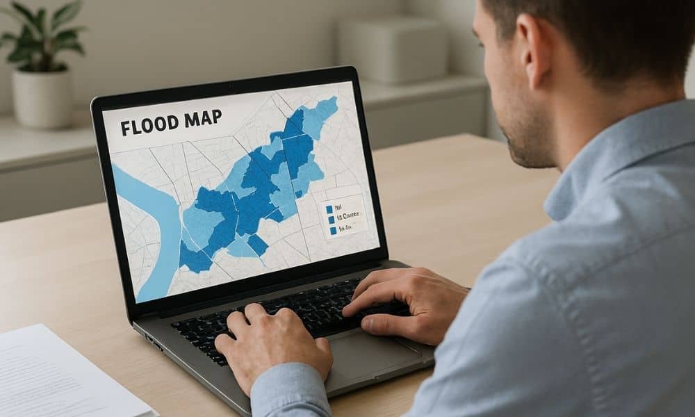
If you own property, you may have noticed more talk about flood maps lately. Real estate agents mention them. Lenders ask questions about them. Insurance companies review them more closely than before. Even buyers now pull flood maps before making an offer. Because of this shift, many property owners are suddenly being asked for a […]
Topo Survey: Avoid Floodway Building Surprises

If you live in Houston, you’ve seen how fast water can take over a street. That’s why the “San Jacinto Preserve” debate hits a nerve. People don’t just argue about growth. They argue about where stormwater goes when a huge piece of land changes. And right in the middle of that argument sits one tool […]
Why Drone Surveying Is Now Critical for Coastal Projects
Houston keeps growing fast, with new buildings, busy job sites, and land development everywhere. But even with all this growth, the city also has a big job to do: protecting its coastline and the natural areas around it. Recently, Houston Audubon secured 27 acres of coastal habitat to protect shorebirds and wildlife. Many people celebrated […]