Post-Storm Mistakes Driving Licensed Land Surveyor Demand
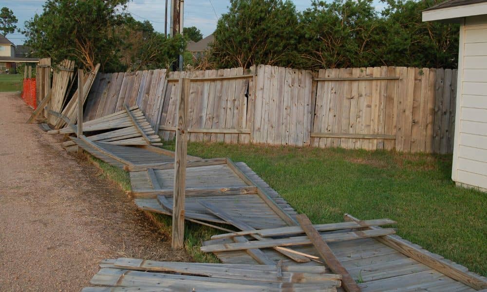
After the recent storms and freezing weather in Houston, many homeowners stepped outside to find broken fences, cracked driveways, flooded yards, and soft, uneven ground. Most people wanted to fix the damage right away. Contractors were busy, supplies were limited, and everyone hoped to get their home back to normal as fast as possible. However, […]
Lot Survey Guide: Who’s Responsible for Overgrown Lots?
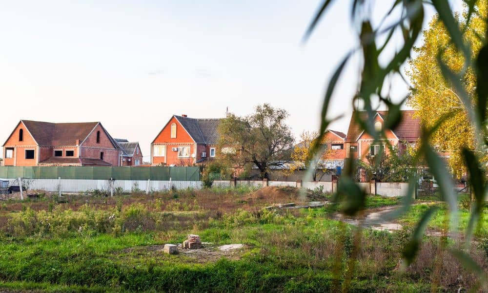
A recent dispute over an overgrown lot in Houston spread fast online. Neighbors shared photos. Frustration grew. Comments piled up. Yet beneath the noise, one question stayed unanswered longer than it should have: Who is actually responsible for that land? This situation feels familiar to many property owners. A vacant lot sits nearby. Grass grows […]
Fence Disputes Are Going Viral — Property Line Survey Fix
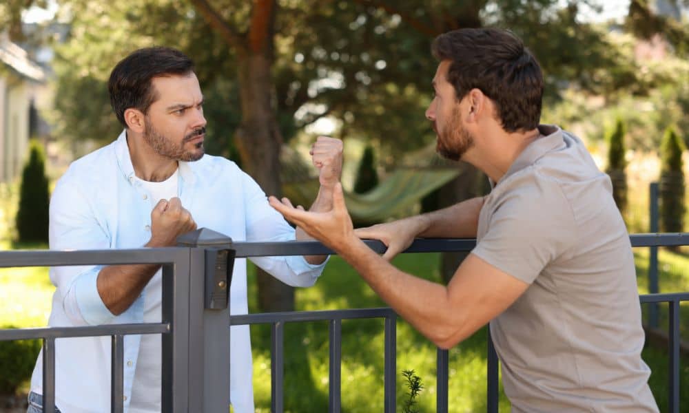
Scroll through social media for a few minutes and you’ll see it. Two neighbors. A brand-new fence. Raised voices. Phone recording. Comments piling up. What should have been a quiet home improvement suddenly turns into a public showdown. These fence disputes feel dramatic because they are. Yet, they’re also familiar. In Houston, where homes sit […]