Property Land Survey Checks Most Owners Miss
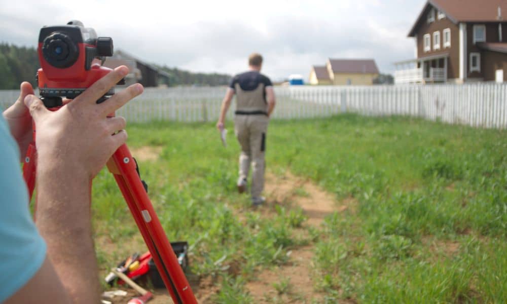
Ground collapse stories spread fast online. A street drops. A yard sinks. A driveway cracks overnight. Naturally, people watch those clips and think, “That’s scary — but that won’t happen on my property.” Still, ground problems rarely begin with a dramatic collapse. Most of the time, land sends small warning signals first. That’s why a […]
Post-Storm Mistakes Driving Licensed Land Surveyor Demand
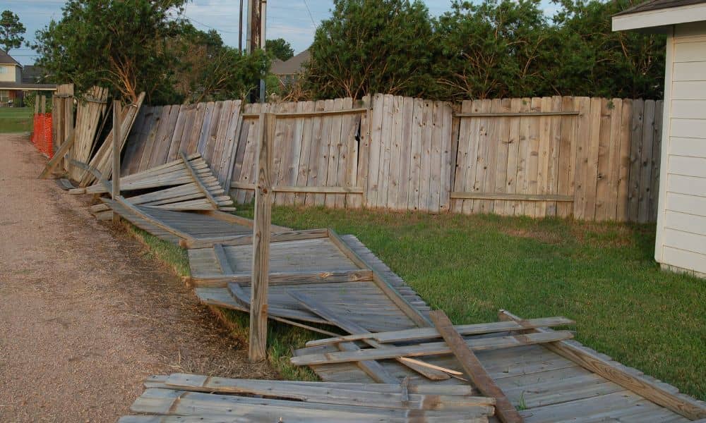
After the recent storms and freezing weather in Houston, many homeowners stepped outside to find broken fences, cracked driveways, flooded yards, and soft, uneven ground. Most people wanted to fix the damage right away. Contractors were busy, supplies were limited, and everyone hoped to get their home back to normal as fast as possible. However, […]
Lot Survey Guide: Who’s Responsible for Overgrown Lots?
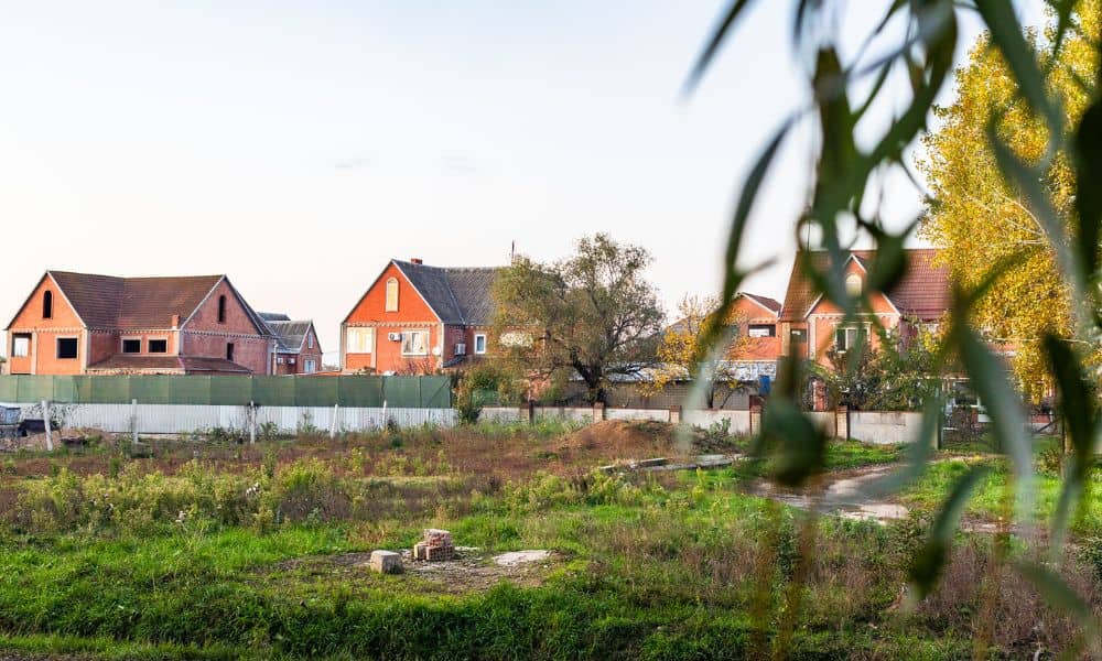
A recent dispute over an overgrown lot in Houston spread fast online. Neighbors shared photos. Frustration grew. Comments piled up. Yet beneath the noise, one question stayed unanswered longer than it should have: Who is actually responsible for that land? This situation feels familiar to many property owners. A vacant lot sits nearby. Grass grows […]