Survey Mapping Alert: GPS Could Shift Coordinates

If you have a project scheduled in Houston this week, you need to pay attention. Recent GPS interference testing across parts of Texas has raised concerns for industries that rely on satellite positioning. While most people think this only affects airplanes or navigation apps, it can also impact survey mapping on the ground. Now, that […]
Floodplain Changes Every Construction Surveyor Must Know

Houston has always dealt with heavy rain. However, in recent years, flood risks have grown more serious. New rainfall data, updated flood studies, and ongoing development across Harris County are changing how flood zones get mapped. As a result, projects that once looked safe may now sit closer to flood-prone areas than expected. Because of […]
When Fence Projects Need a Licensed Surveyor Near Me
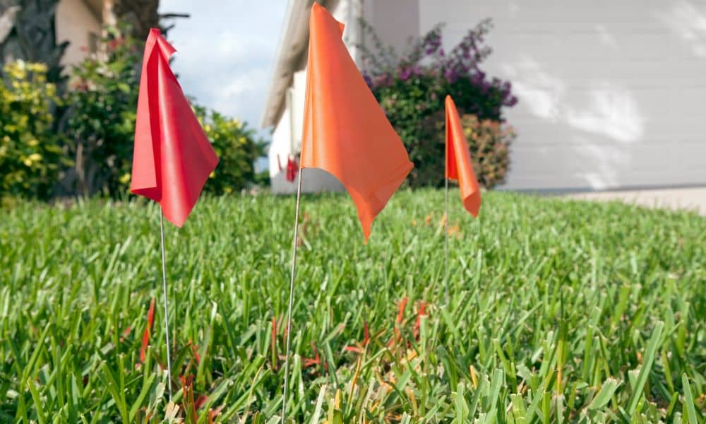
Building a fence in Houston often feels like a simple upgrade. You pick your material, choose a height, and hire a contractor. In many cases, the job finishes quickly and without issues. However, some fence projects carry hidden risks that homeowners don’t see at first. Problems don’t always come from bad construction. Instead, they come […]