Elevation certificates are important tools in land development. They show the exact height of the ground at different stages of a project. This helps developers and contractors know if the land has been shaped correctly. With proper tracking, teams can avoid mistakes like poor drainage, uneven surfaces, or delays in getting permits. Elevation tracking is especially important in cities like Houston, where flat land and strict drainage rules can make grading more complex. Many professionals rely on trusted elevation certificate services to provide this accurate data and support smooth project approvals..
Why Elevation Matters in Grading Work
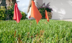
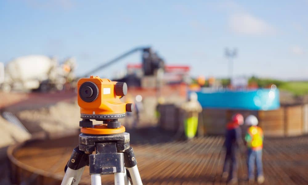
Before grading begins, surveyors check the land’s current elevation. This data shows how much soil needs to be added or removed. It also helps shape the land so that water flows properly. In areas with strict drainage rules or flat land, this step is very important.
Elevation data also helps make sure the project follows city codes. It works with grading plans to show how the land will change and how it affects nearby areas.
Starting with a Baseline Elevation Certificate
A baseline elevation certificate shows what the land looks like before any work begins. If you’re wondering when to get a land survey in Houston, this is the ideal time—before permits are filed or grading starts. It gives engineers a reliable starting point for planning.
This certificate maps out the natural shape of the land. It shows how much dirt needs to be moved and helps teams measure progress during the project.
Checking Elevation During the Project
Grading doesn’t always go as planned. Weather, soil, or machines can cause changes. That’s why it’s smart to check the elevation in the middle of the job.
These checks help spot problems early—like digging too deep or adding soil unevenly. Finding issues before foundations or concrete are added can save time and money.
Final Elevation Checks for Compliance
After grading is done, a final elevation certificate shows that the work meets the approved plans. This document is often needed by:
- Local building departments
- Lenders or banks
- Future buyers or property managers
It proves that the land was graded properly and is ready for the next phase of construction.
Helping Teams Work Together
Grading involves many people—surveyors, engineers, contractors, and inspectors. A certified elevation certificate helps everyone stay on the same page.
It gives clear, shared information. This makes teamwork easier and helps avoid confusion or delays.
Keeping Elevation Records for the Future

Even after a project ends, elevation certificates are useful. They show what was done and when. These records can help:
- Plan future upgrades
- Prove property value
- Answer questions during inspections or insurance claims
Keeping these documents on file protects owners and saves time later on.
FAQs
1. Do I need an elevation certificate before grading?
It’s not always required, but it’s highly recommended. It gives a clear starting point.
2. Can it help prevent mistakes during grading?
Yes. Mid-project checks help catch problems early.
3. Who needs to see the elevation certificate?
City officials, engineers, contractors, and property owners.
4. What if the final elevation is wrong?
You may need to fix the grade or submit a new plan.
5. Can support be provided throughout the project?
Yes. Elevation certificates can be done before, during, or after grading.