Fence Disputes Are Going Viral — Property Line Survey Fix

Scroll through social media for a few minutes and you’ll see it. Two neighbors. A brand-new fence. Raised voices. Phone recording. Comments piling up. What should have been a quiet home improvement suddenly turns into a public showdown. These fence disputes feel dramatic because they are. Yet, they’re also familiar. In Houston, where homes sit […]
Why Flood Map Updates Require a FEMA Elevation Certificate
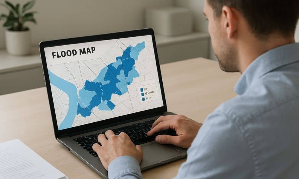
If you own property, you may have noticed more talk about flood maps lately. Real estate agents mention them. Lenders ask questions about them. Insurance companies review them more closely than before. Even buyers now pull flood maps before making an offer. Because of this shift, many property owners are suddenly being asked for a […]
Topo Survey: Avoid Floodway Building Surprises

If you live in Houston, you’ve seen how fast water can take over a street. That’s why the “San Jacinto Preserve” debate hits a nerve. People don’t just argue about growth. They argue about where stormwater goes when a huge piece of land changes. And right in the middle of that argument sits one tool […]